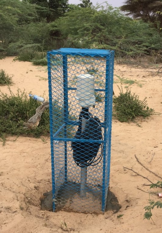
Ground Water Station: GW2 - Hargeisa

| Station Name: | Hargeisa |
|---|---|
| Town/ Village Name: | Geed deeb leh Village |
| District: | Hargeisa |
| Region: | Woqooyi Galbeed |
| GPS Coordinates: | 9.77407, 43.96468 |
| Sensor Level (m): | 26.4 m |
| Data Frequency: | Hourly |
| Status: |

|
|---|---|
| First Data Update: | Jan. 5, 2017, midnight |
| Last Data Update: | Dec. 6, 2020, 11:59 p.m. |
×
×
×
×
×
×
×
×
×
×
| Ownership: | Hargeisa Water Agency |
|---|---|
| Borehole Established: | Jan. 2, 2017 |
| Type of Borehole: | Observation |
| Borehole Depth (m): | 90 |
|---|---|